| Deep Gap |
My primary goal was to summit Cold Mountain, while secondarily I was interested in searching for a crashed B-26 bomber from 1946. When I headed into Pisgah a few weekends back, I stopped in at the Ranger Station just outside of Brevard in order to pick up a map of Pisgah Ranger District. When I struck up a conversation about some of the best hikes in the area, one of the rangers got to talking about Cold Mountain. This lead to that and so on and eventually one of the rangers mentioned an old World War II bomber crash on Cold Mountain. He couldn’t recall where the bomber had crashed, but called over an ancient looking park ranger. This ranger said he knew where the bomber lay and marked on my map, just a little east of the trail, just before the Cold Mountain trail turns sharply west to go to the summit. He claimed it was just about 200 yards off the trail, and I’d have to “crawl on hands and knees under the Rhododendrons to find it”.
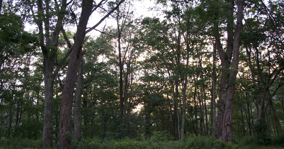
I got to Deep Gap around 9pm on Friday and initially didn’t recognize it as the Gap. Taking off my pack, I found water dripping onto my shorts. I rifled through my pack to check my water bottles and found they were not leaking. That’s when I realized my shirt had absorbed so much sweat it was dripping onto my pants. Needless to say I changed clothes, hung those out to dry, cooked dinner and ate it with my back against a tree as I was unusually paranoid about bears that night.
 |
| “COLD” Elevation |
In the morning I made the hike up to Cold Mountain and passed two hikers coming down. They advised me to keep hiking up the trail until I found some good overlooks, saying that they had missed the summit on a previous trip because they didn’t go up far enough. I found that there are several good camp sites just below the summit. Continuing through these, the trail narrows and is overgrown with raspberry bushes and low trees. It comes out about three times onto narrow rocky outcroppings providing unobstructed views to the south from 6000ft elevation before finally reaching the summit rock, marked with a USGS plaque. The plaque seems to indicate that the mountain is “COLD” feet high. I’m not sure why someone stamped “COLD” onto the plaque instead of the actual elevation (6030ft) but there you have it.
 |
| View from one of the Cold Mountain overlooks, facing south |
When I got back down, I took off into the overgrown bush where the old park ranger had indicated the B-26 originally crashed. I searched for about an hour but gave up after tiring myself out bushwhacking on the side of Cold Mountain. I did some more research after I got back and found out there’s a book published as “Cold Mountain Bomber Crash“. Maybe this book would have the clues one needs to find the lost B-26, or maybe not. This Indiana Jones adventure will have to await another wild soul to find the lost B-26. All in all it took me over 7000 feet of vertical elevation change to yo-yo hike from Daniel Boone Boy Scout Camp to Cold Mountain’s summit and back again. This is not an easy hike, the trail takes ascents that are nearly hand over fist and the Art Loeb lacks blazes. The Cold Mountain trail is blazed with gold paint stripes but is easy to follow anyway. The trail is hard but the rewards are worth it. Are you up for a challenge?
Happy Trails!
